laser scanning from cadtec
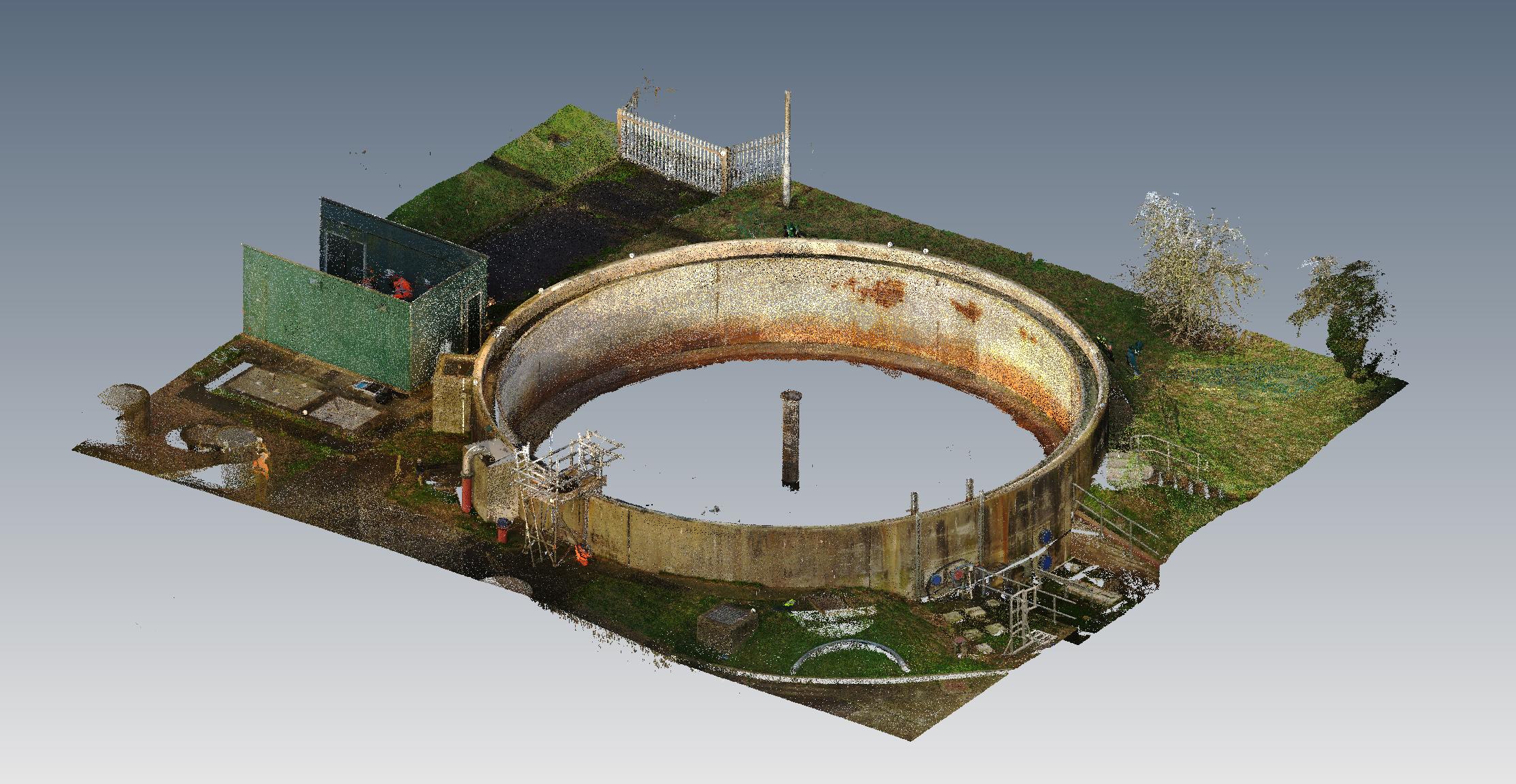
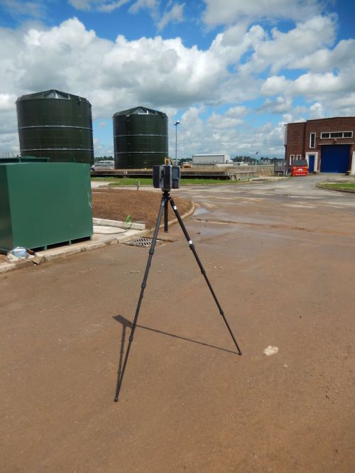
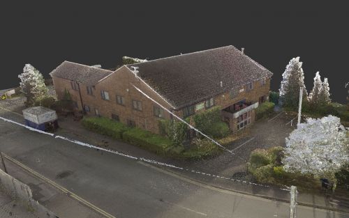
Cadtec is focused on the fast-evolving discipline of 3D laser scanning. We provide accurate, innovative and competitive surveying, measurement and visual solutions for our clients through the very latest technology.
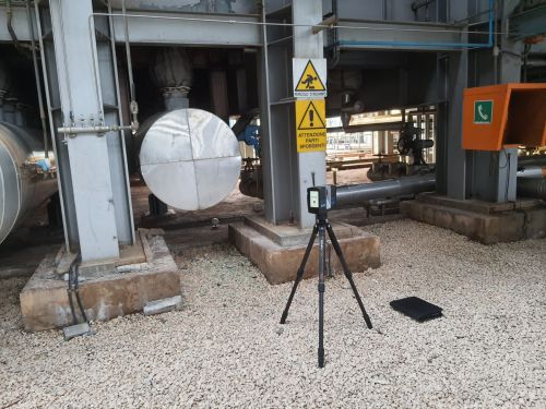
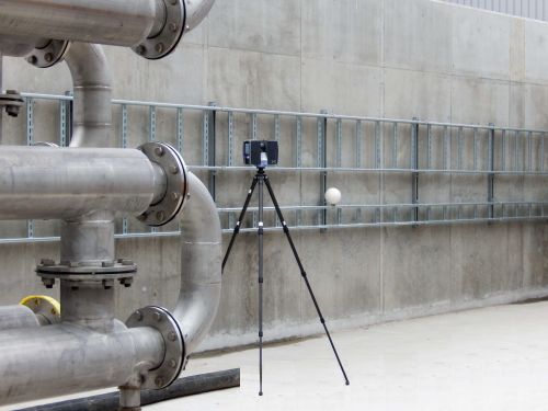
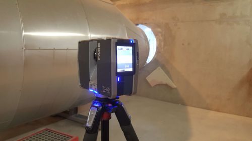
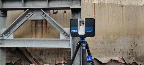
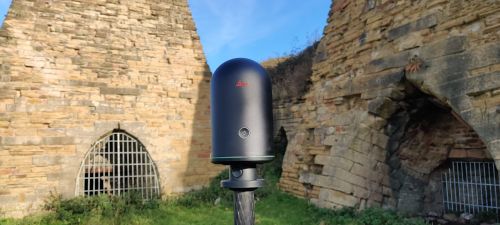
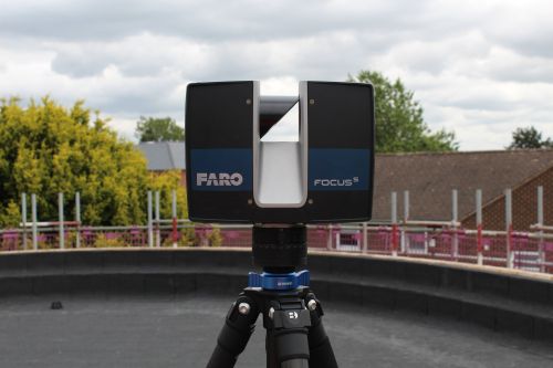
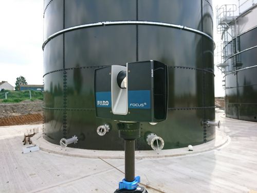
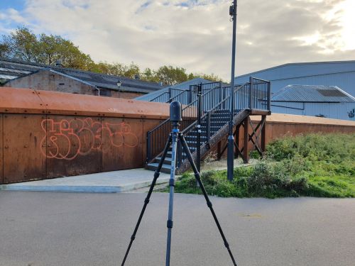
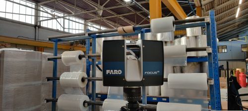
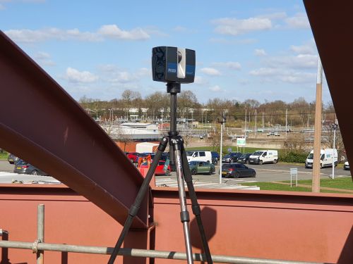
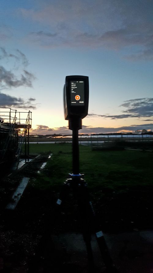
We have a wealth of experience in the surveying industry which allows us to offer and develop laser scanning solutions to meet your measurement and surveying needs. Utilizing Faro and Matterport scanners.
With the scanned data retrieved from site we can supply additional information that could be crucial to your project, that was not requested in the initial design. This could eliminate a revisit back to site, reducing additional costs.
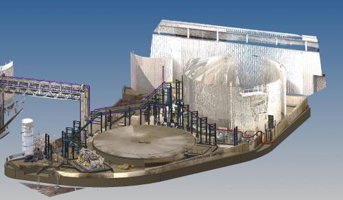
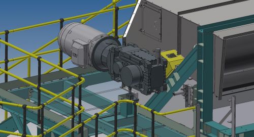
3D piping can be routed through 3D scanned point cloud data to avoid potential clashes with existing equipment, steelwork.
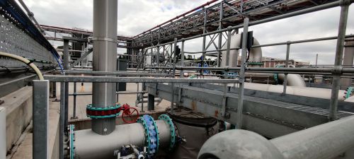
We have spent many years’ site-surveying plants throughout the U.K and the world including France, Italy and Holland. Our site surveys include:
Power Stations
Gas compressor stations
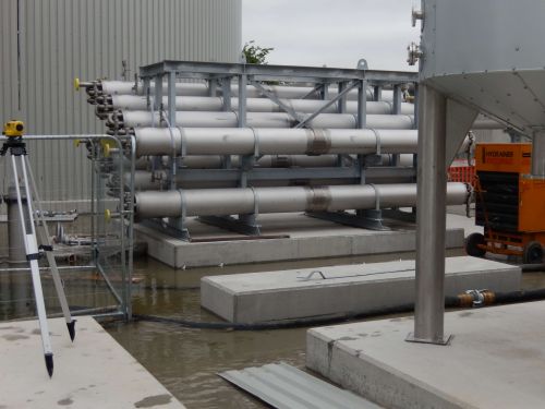
Water treatment plants
Pumping stations
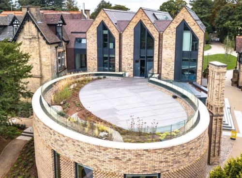
Building Refurbishment
Historic Buildings
Plant Layouts
laser scanning gallery
why choose cadtec for your laser scanning
• Time savings on site due to rapid data collection. This is ideal for surveys which have a small window of opportunity.
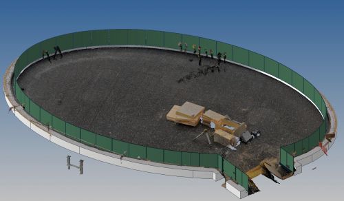
• Point cloud data are highly accurate, fully measurable data sets. The coverage of the site from multiple scan positions reduces site revisits due to the amount of data captured during the initial scan survey.
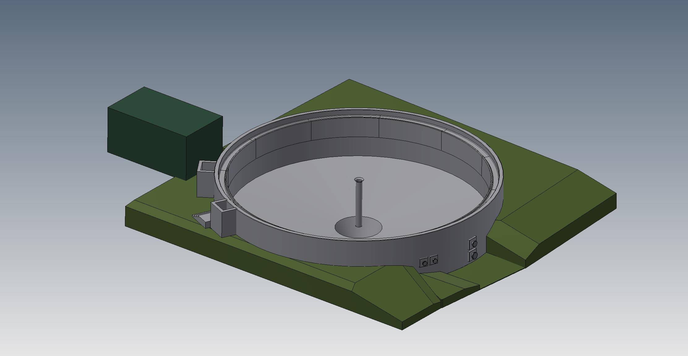
• Scanning can provide the ideal basis for BIM projects. This brings designs together in one place and can help to portray concepts more easily and aid with more efficient planning.
• All the data at your fingertips as sites can be viewed and interrogated from your desk using a variety of software packages, reducing the need for time consuming site visits.
• Due to the non-contact nature of scanning, hazardous environments such as railways, highways, quarries or fire damaged buildings can be surveyed with a greater degree of safety.
• Scanning can provide unparalleled records and preservation of a site or structure providing highly detailed data for restoration, reconstruction or visualisation.
